My Ireland


Oops, no internet connection
While offline, you can still add items to ‘My Board’. New travel reccomendations will only show up once you’re back online.
Items without a physical location are not shown in map view.
Looks like your board is empty


Location access
- View offers and deals nearby you
- Get travel inspiration based on your location
- Local weather warnings and useful travel information


Travel times
Tell us when you are going to be travelling Ireland, and we will show you tailored recommendations for the duration of your trip.


- Tips for events happening during your stay
- Helpful travel reminders and updates
Privacy
We take your privacy very serious and only ever process your data with your persmission. If possible this is handled anonymously and we will never store your data for longer than is required. For more information on how we handle your personal data please read our Privacy Policy.
Remove Data
To securely remove all data associated with your profile please contact our Data Protection Officer.
Reset your Board
This will remove all the items you have previously liked from your board. Please note, you can’t undo this action.
Location access
- View offers and deals nearby you
- Get travel inspiration based on your location
- Local weather warnings and useful travel information
Travel times
Tell us when you are going to be travelling Ireland, and we will show you tailored recommendations for the duration of your trip.
- Tips for events happening during your stay
- Helpful travel reminders and updates
Reset your Board
This will remove all the items you have previously liked from your board. Please note, you can’t undo this action.
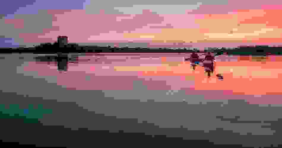
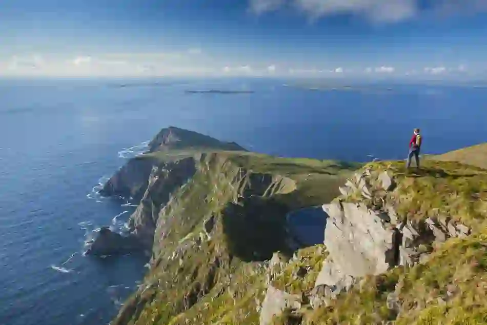
Things to do
What takes your fancy? Walking in rugged mountain ranges? Eating food fresh from the sea? Warming up by a turf fire in a traditional Irish pub? Well then you're going to LOVE us!


Blarney Castle
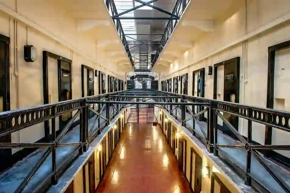

Crumlin Road Gaol
Crumlin Road Gaol
Step off the Belfast city streets, and be transported into 150 years of history…